Provincial Overview
Sudurpashchim Province (Province No. 7) occupies the far-western extent of Nepal, bordering the Tibet Autonomous Region of China to the north, Uttarakhand of India to the west and south, and Karnali/Lumbini provinces to the east.
The terrain rises from 109 meters in the southern Terai plains (Kailali and Kanchanpur) to over 7,132 meters at Mount Api in the Himalayan region, giving it varied climatic zones within a single territory.
Dhangadhi serves as the main administrative seat while Godawari (Kailali) is designated as the provincial capital.
The province consists of 1 Sub-Metropolitan City, 33 Municipalities, and 54 Rural Municipalities, bringing the total local government units to 88 across its 9 districts.
The region possesses unique cultural traditions. Gaura Parva is the major festival celebrated in honor of Goddess Gauri, accompanied by the performance of traditional Deuda song circles.
Dominant languages include Doteli, Khas/Nepali, Tharu, Baitadeli, and Darchuleli.
Districts Directory
Detailed directory of all 9 districts in Sudurpashchim
Visual Gallery
Photography of key destinations across Sudurpashchim
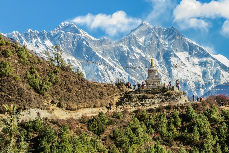
Mount Api Peak
Darchula District (7,132m)
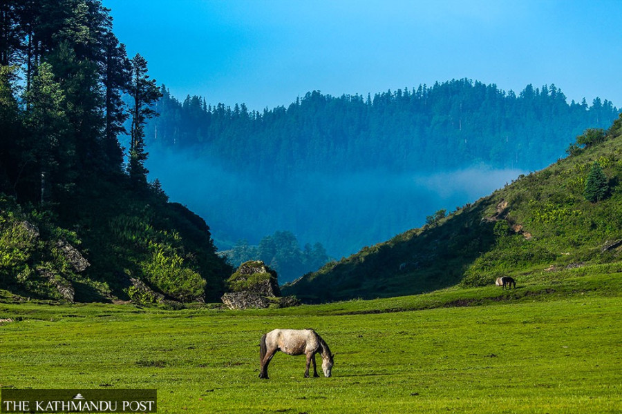
Khaptad Plateau
High Altitude Meadows
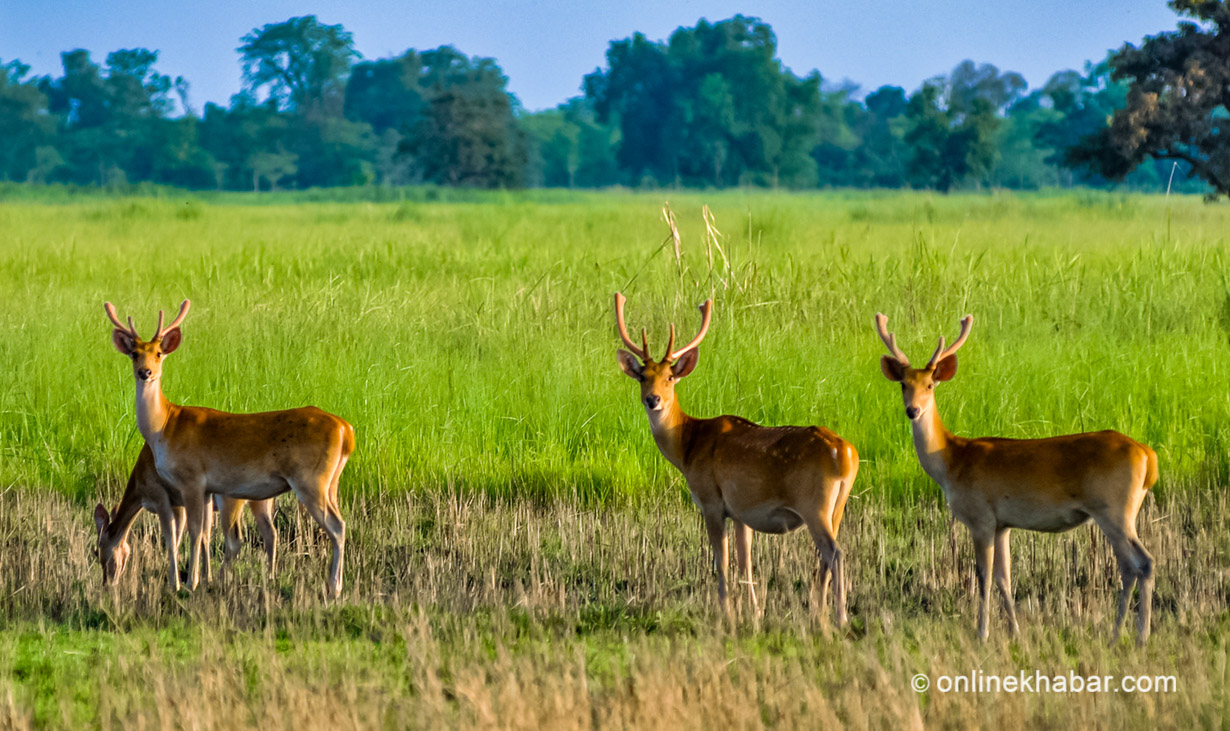
Shuklaphanta Grasslands
Kanchanpur Reserve
Demographics & Area Analytics
Population Share by District
District Area Comparison (km²)
Major Tourism Hubs
Shuklaphanta National Park
Located in Kanchanpur district. Home to Asia's largest single herd of Swamp Deer (Barasingha), Bengal Tigers, and grasslands.
Khaptad National Park
Spans across Bajhang, Bajura, Doti, and Achham districts. Famous for rolling alpine pastures and high altitude biodiversity.
Api Nampa Conservation Area
Situated in Darchula district. Protects the ecology surrounding Mount Api (7,132m), rare medicinal flora, and Himalayan fauna.
Interactive Geographic Map
Interactive view of regional hubs and headquarters